Looking at a map of Kenya is one of the fastest ways to realize how many travelers plan the country too abstractly. Park names get treated as interchangeable, routes are imagined without scale, and ecosystems that sit hundreds of kilometers apart end up mentally collapsed into one seamless safari picture. The map corrects that immediately. It shows a country of strong geographic contrasts: Rift Valley lakes, southern plains, northern dry country, central highlands, Indian Ocean coast, and a capital city that functions as the logistical hinge between them.
This guide reads Kenya through its geography. It explains the main safari regions, how they connect, what kinds of travel logic each one supports, and why understanding the map is often the first step toward building a coherent route.
Explore Kenya on the Interactive Map
Every park, reserve and conservancy below is drawn to its real boundary. Use the search box to fly to a destination, toggle layers with the filter chips, and tap any shape for its size, best months, signature wildlife and a link to the full guide. The dashed lines are the main road routes out of Nairobi, with distances and realistic driving times.
Tap a park for size, best months, signature wildlife and the full guide. Colours: parks, reserves, conservancies, coast, neighbouring parks. Entry fees are indicative non-resident adult rates. KWS and county tariffs change; confirm current rates before travel. Park boundaries: protected-area data © UNEP-WCMC WDPA and © OpenStreetMap contributors.
Kenya on a Map
Kenya sits in East Africa with the Indian Ocean to the southeast, Tanzania to the south, Uganda to the west, Somalia to the northeast, and Ethiopia and South Sudan to the north. That is the formal map. The travel map, however, is slightly different. Readers usually experience the country through a series of internal geographic systems:
- the Rift Valley corridor
- the southern safari belt
- the Tsavo-to-coast transition
- the northern rangelands
- Nairobi as the entry and transfer hub
Thinking in those systems is usually more useful than thinking only in national outline.
Why Geography Matters So Much in Kenya Travel
The main reason to study a Kenya safari map is not academic curiosity. It is trip quality. Geography affects:
- how much time is spent in transit
- whether road or flight routing makes sense
- which ecosystems can be paired naturally
- how climate and season shape a route
- whether the trip feels coherent or fragmented
Readers who ignore the map often build itineraries that sound exciting in theory but become road-heavy, repetitive, or structurally inefficient in practice.
The Rift Valley Corridor
The Rift Valley is one of the clearest organizing features on a Kenya national parks map. It creates a central belt of lakes, escarpments, volcanic features, and relatively accessible wildlife destinations that work especially well in combination, especially for readers moving between Naivasha-area stops and other short-format inland routes.
Key travel logic here includes:
- Lake Naivasha and Hell’s Gate as a water-and-activity pairing
- Lake Nakuru as a compact rhino-and-birdlife park
- farther northern lakes and volcanic landscapes for more specialized routes
This is the part of Kenya where scenic geology and wildlife often overlap most visibly.
Southern Kenya
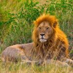
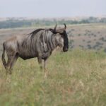
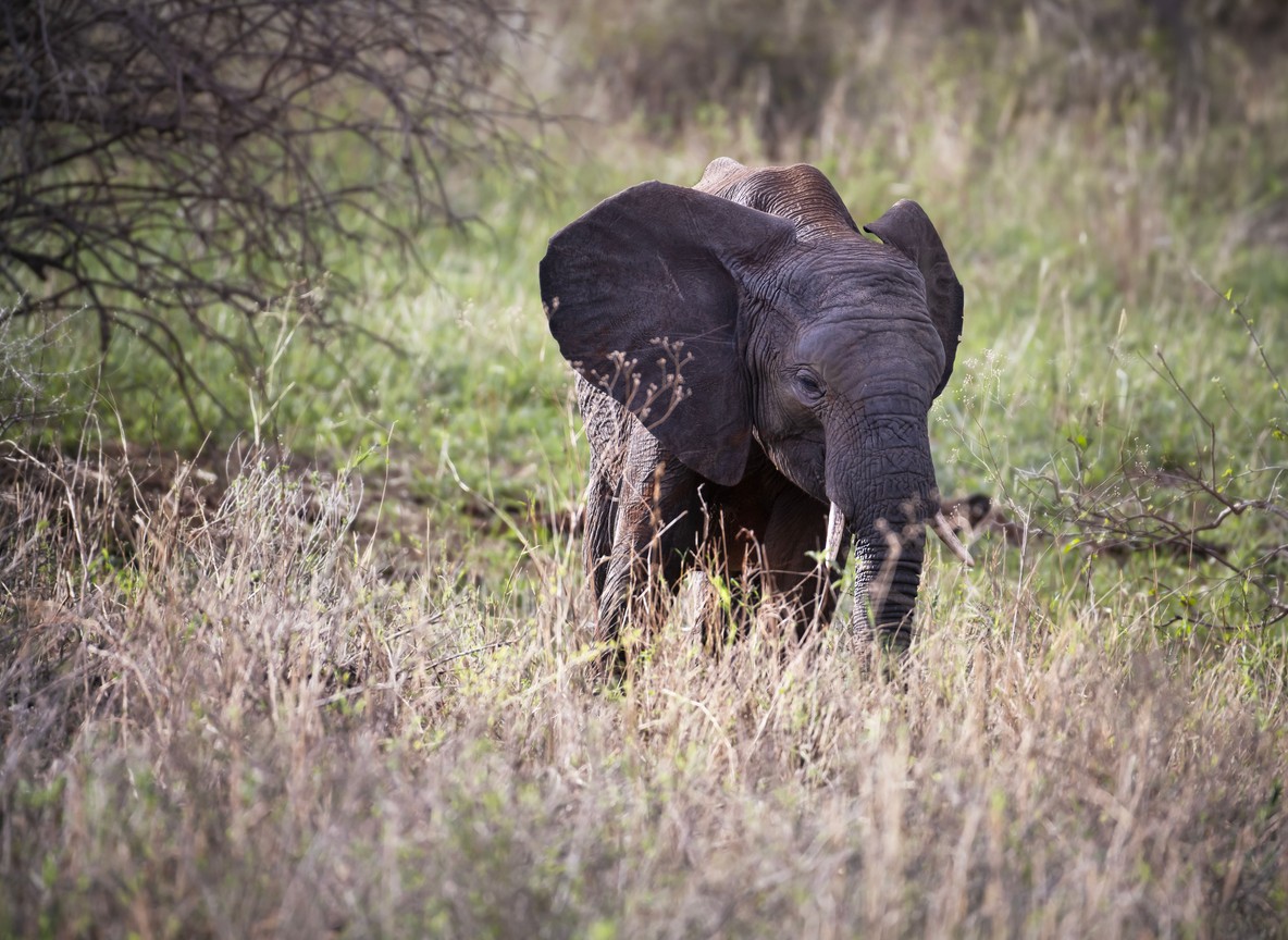
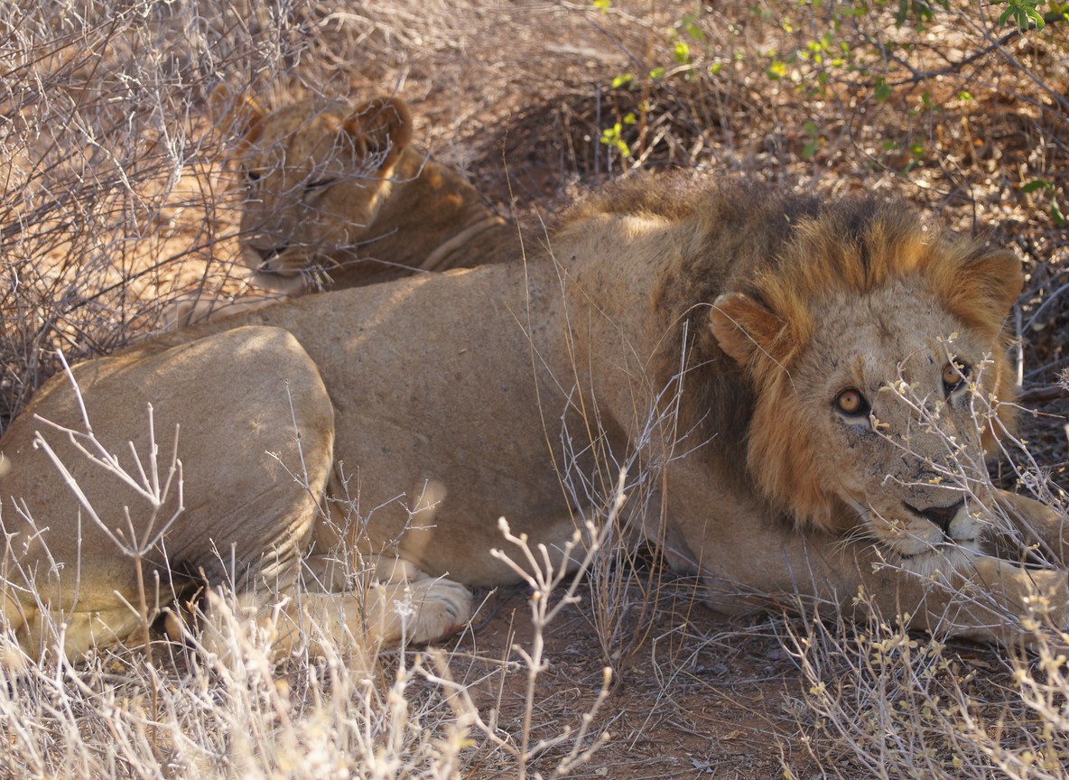
Southern Kenya is the zone most closely associated with classic safari imagery. On the map, this region includes the Maasai Mara National Reserve, Amboseli, and the broad country leading toward the Tanzania border.
This area matters because it contains:
- migration-linked grassland systems
- elephant and mountain-backed landscapes
- some of the country’s most internationally legible safari environments
For many readers, the south becomes the emotional core of the trip. It is also where geography needs to be respected, because even iconic parks that look close on a casual map do not always combine efficiently without planning.
Eastern Kenya and Tsavo
Eastern Kenya introduces a different spatial logic. Tsavo National Park occupies a vast area that links inland wildlife travel with the coast more naturally than many first-time readers realize.
This is why Tsavo is so important on a Kenya travel guide map:
- it acts as a geographical bridge between Nairobi and the coast
- it supports red-earth, lower-density, larger-scale park experience
- it creates one of the country’s clearest bush-to-beach route structures
Readers often understand this better once they stop seeing Tsavo only as one park name and start reading it as a major eastern corridor.
Northern Kenya
Northern Kenya often surprises readers because it looks relatively empty on simplified tourist maps while actually holding some of the country’s most distinctive safari territory. Samburu National Reserve, Laikipia, and wider northern routes change the visual and ecological language of travel significantly.
This region matters because:
- species composition shifts
- the land feels drier and more angular
- conservancy and private-land structures often shape experience strongly
- northern travel broadens the country beyond the standard southern-circuit imagination
On the map, the north is the zone that most clearly warns readers not to equate “Kenya safari” with one landscape type.
The Coast
On the national outline, the coast may look like a simple eastern edge. In reality it is its own internal world. The wider Kenya coast, including Mombasa, Diani, Watamu, Kilifi, Malindi, and Lamu, produces very different travel experiences across one shoreline.
The map matters here because it explains:
- distance between north and south coast bases
- where coast-and-safari combinations make sense
- how marine, cultural, and beach routes align differently from inland wildlife routes
Readers planning both safari and beach time usually benefit from reading the coast not as an afterthought, but as its own geographic chapter.
Nairobi on the Map
Nairobi map Kenya queries often come from readers trying to understand how one city can function as both a major urban capital and a safari gateway. The answer is geography. Nairobi sits centrally enough, and with the right transport infrastructure, to connect most major travel zones efficiently.
This is why Nairobi matters:
- it anchors road departures
- it concentrates domestic flight links
- it gives readers access to central, southern, and some northern routes
- it often determines whether the trip’s opening or closing logic feels smooth
Readers who treat Nairobi only as a stopover usually miss how much it organizes the rest of the country’s travel flow.
How to Read the Map for Itinerary Logic
The most useful way to read a detailed map of Kenya is not as a checklist of destinations, but as a planning tool for route coherence.
Strong Pairings
Some combinations make immediate geographic sense:
- Rift Valley pairings like Naivasha and Nakuru
- southern combinations anchored around the Mara or Amboseli
- Tsavo plus coast transitions
- northern pairings such as Samburu and Laikipia
Risky Pairings
Other combinations may sound impressive but often create too much transit pressure when attempted without flights or enough days. This is why map literacy matters. It helps readers distinguish between a route that is broad and a route that is simply overextended.
Why the Map Improves Reader Expectations
The map also changes expectations in subtler ways. Readers begin to understand:
- why Kenya can feel climatically varied within one trip
- why one park may feel open and another closed-in
- why some routes are dustier, greener, wetter, or more rugged
- why regional culture and wildlife can shift dramatically over a few travel days
In that sense, geography is not only logistical. It is interpretive.
Kenya’s Parks and Reserves at a Glance
The tables below mirror the interactive map, so the same facts stay available without scripts and are easy to compare side by side. Every destination links to its full planning guide where one exists.
National parks and reserves
| Destination | Area | Getting there | Best months | Known for | |
|---|---|---|---|---|---|
| Maasai Mara National Reserve | 1,510 km² | 270 km / 5-6 hr from Nairobi | Jul-Oct migration; Jan-Feb | Big Five, wildebeest migration | View on map |
| Amboseli National Park | 392 km² | 240 km / 4 hr from Nairobi | Jun-Oct & Jan-Feb | Elephant herds, Kilimanjaro views | View on map |
| Tsavo East National Park | 13,747 km² | 325 km from Nairobi | Jun-Oct & Jan-Feb | Red-dust elephant, lion | View on map |
| Tsavo West National Park | 9,065 km² | 232 km from Nairobi | Jun-Oct & Jan-Feb | Black rhino, Mzima Springs | View on map |
| Lake Nakuru National Park | 188 km² | 163 km / 2.5 hr from Nairobi | Year-round; Jun-Mar best | Rhino, flamingo, lion | View on map |
| Nairobi National Park | 117 km² | 7 km from the city centre | Year-round; driest Jul-Oct | Rhino, lion, city skyline | View on map |
| Aberdare National Park | 767 km² | 100 km / 2.5 hr from Nairobi | Jan-Feb & Jun-Sep | Elephant, bongo, tree lodges | View on map |
| Mount Kenya National Park | 715 km² | 180 km from Nairobi | Jan-Feb & Aug-Sep | Trekking, montane forest | View on map |
| Meru National Park | 870 km² | 350 km from Nairobi | Jun-Oct & Dec-Mar | Rhino sanctuary, Born Free country | View on map |
| Samburu National Reserve | 165 km² | 320 km / 6-7 hr from Nairobi | Jun-Oct & Dec-Mar | Special Five, river elephant | View on map |
| Buffalo Springs National Reserve | 131 km² | Adjoins Samburu, 320 km from Nairobi | Jun-Oct & Dec-Mar | Grevy’s zebra, gerenuk | View on map |
| Shaba National Reserve | 239 km² | Adjoins Samburu | Jun-Oct & Dec-Mar | Crocodile, oryx, lava plains | View on map |
| Hell’s Gate National Park | 68 km² | 100 km / 2 hr from Nairobi | Year-round; driest Jun-Oct | Gorge walks, cycling among wildlife | View on map |
| Chyulu Hills National Park | 471 km² | 190 km from Nairobi | Jun-Oct & Jan-Feb | Elephant, lava caves, green hills | View on map |
| Lake Bogoria National Reserve | 107 km² | 250 km from Nairobi | Jun-Oct access easiest | Flamingo flocks, hot springs | View on map |
| Shimba Hills National Reserve | 193 km² | 33 km from Mombasa | Year-round; driest Jul-Mar | Sable antelope, Sheldrick Falls | View on map |
| Mount Elgon National Park | 169 km² | 420 km from Nairobi | Dec-Mar & Jun-Aug | Elephant caves, moorland treks | View on map |
Conservancies and private land
| Destination | Area | Getting there | Best months | Known for | |
|---|---|---|---|---|---|
| Ol Pejeta Conservancy | 364 km² | 217 km / 4 hr from Nairobi | Jun-Oct & Dec-Mar | Last two northern white rhinos, chimpanzee sanctuary | View on map |
| Mara North Conservancy | ~300 km² | Adjoins the Maasai Mara | Jul-Oct & Jan-Feb | Big cats, low vehicle density | View on map |
| Mara Triangle Conservancy | 510 km² | Western third of the Mara | Jul-Oct migration crossings | Mara River crossings, big cats | View on map |
| Naboisho Conservancy | ~210 km² | Adjoins the Maasai Mara | Jul-Oct & Jan-Feb | Lion density, walking safaris | View on map |
| Olare Orok Conservancy | ~140 km² | Adjoins the Maasai Mara | Jul-Oct & Jan-Feb | Leopard, exclusive low-density camps | View on map |
| Lewa Wildlife Conservancy | 250 km² | 250 km from Nairobi · UNESCO | Jun-Oct & Dec-Mar | Rhino, Grevy’s zebra | View on map |
Coast, lakes and marine
| Destination | Area | Getting there | Best months | Known for | |
|---|---|---|---|---|---|
| Watamu Marine National Park | Marine park & reserve | About 2 hr north of Mombasa | Oct-Mar seas calmest | Coral reef, turtles, snorkelling | View on map |
| Malindi Marine Reserve | 213 km² | 120 km north of Mombasa | Oct-Mar seas calmest | Coral gardens, snorkelling; Africa’s oldest marine park | View on map |
| Lake Naivasha | Freshwater lake | 90 km / 1.5-2 hr from Nairobi | Year-round | Hippo, Crescent Island walks | View on map |
| Diani Beach | 17 km of coastline | 30 km from Mombasa | Oct-Mar | White sand, reef diving | View on map |
Entry fees are indicative non-resident adult rates. KWS and county tariffs change; confirm current rates before travel.
Detailed maps
- Masai Mara safari map: reserve, conservancies and airstrips
- Wildebeest migration map: the route month by month
- Amboseli safari map: park layout, airstrips and access
- Tsavo safari map: East, West and the road between
- Kenya national parks map: every major park to scale
- Samburu safari map: three reserves on one river
- Rift Valley lakes map: Kenya’s lake circuit
- Nairobi to Masai Mara route map
- Nairobi to Amboseli route map
- Where is the Masai Mara? The location, mapped
- Where is Kenya? Borders and safari geography
- Kenya safari seasons map: the best time by region
Explorer Notes
- The best Kenya itineraries are usually built around circuits, not isolated names.
- The map helps readers avoid underestimating distance.
- Rift Valley, southern plains, Tsavo, north, and coast are not interchangeable safari zones.
- Nairobi matters because it links systems, not because it sits at the center of generic tourism.
- Coast-and-safari travel becomes clearer once readers see Tsavo as a corridor, not as an isolated detour.
Frequently Asked Questions
Why is a map of Kenya useful for safari planning?
Because it shows which regions connect naturally and which combinations create unnecessary transit.
What are Kenya’s main safari regions?
The Rift Valley, southern Kenya, eastern Kenya including Tsavo, northern Kenya, and the coast, with Nairobi as the main hub.
Does the coast fit naturally into a safari route?
Yes, especially through the eastern corridor and Tsavo-related combinations.
Is northern Kenya easy to add to a first safari?
It can be, but it should be planned as its own regional logic rather than treated as a quick extension.
Why do so many trips begin in Nairobi?
Because Nairobi is the main logistical hinge for domestic flights, road routing, and national travel connections.
Conclusion
A map of Kenya does more than show where destinations are. It shows how the country works. It reveals that Rift Valley lakes, southern migration country, northern dry rangelands, Tsavo corridors, and Indian Ocean coastlines all belong to the same national frame without being remotely the same travel experience.
Readers who understand that early usually plan better. They stop building wish-list itineraries out of names alone and start building routes that respect the geography Kenya is asking them to travel through.
If this guide has you ready to travel, a safari specialist can handle the route, camps, and logistics end to end.
Want to Book a Tour With Us?