
There is a mountain in Kenya’s Rift Valley that most safari itineraries skip entirely. It sits between Nairobi and Lake Naivasha, clearly visible from the main highway — a near-perfect volcanic cone rising out of the flat valley floor. Most people glance at it from the car window and keep driving to the hippos.
That is a missed opportunity. Mount Longonot is one of the most satisfying day hikes in East Africa: a straightforward climb to a crater rim, a full loop around the edge, and views that stretch across the Rift Valley in every direction. On a clear day you can see Lake Naivasha, Hell’s Gate’s basalt cliffs, and the distant ridge of the Aberdares. The whole thing takes 4-5 hours and costs less than USD 30 in park fees.
What Is Mount Longonot?
Mount Longonot is a stratovolcano in Kenya’s Great Rift Valley, approximately 60 kilometres northwest of Nairobi. It forms the centrepiece of Mount Longonot National Park, which covers 52 square kilometres of protected Rift Valley landscape.
The mountain rises to 2,776 metres above sea level — high enough to produce noticeably cooler temperatures at the rim and occasional dramatic cloud effects, but not high enough to present any altitude sickness risk for healthy visitors.
The volcano last erupted in the 1860s. It is classified as dormant rather than extinct. Steam vents inside the crater are still active, occasionally releasing sulphurous gas into the bowl, and the geological language for its eruption style is effusive (quiet lava flows) rather than explosive. The 1860s eruption was not catastrophic. The steam visible today is residual geothermal activity.
The crater is approximately 1.8 kilometres in diameter and 180 metres deep. Its floor supports a dense forest of figs, hagenia, and groundsel. Buffalo and leopard are known to use the crater interior, though the dense vegetation keeps most wildlife out of sight.
The Hike: What to Expect
Trailhead: The park gate and trailhead are on the eastern side of the mountain, reached via a signposted turn-off from the Nairobi-Naivasha highway (A104). The gate opens daily at 06:00.
Distance and elevation gain:
| Segment | Distance | Elevation Gain |
|---|---|---|
| Gate to crater rim | 3.5 km | 580m |
| Rim loop (full) | 7.2 km | ~250m undulating |
| Total with full rim loop | ~14 km | ~830m |
Difficulty: Moderate. The ascent is steep in sections and involves loose volcanic soil — good grip footwear is essential. The rim trail has some exposed sections with significant drops into the crater. Trekking poles are helpful but not essential for most hikers.
Time required:
- Rim only (no full loop): 2.5-3 hours round trip
- Full rim loop: 4-5 hours total
- Photography-focused pace: allow 5-6 hours
What to bring: At least 2 litres of water per person — there is no water source on the mountain. Sun protection. A light fleece or windbreaker — the rim is significantly colder than the valley floor, especially with wind. Sturdy lace-up shoes. Snacks for the summit break.
The View From the Rim
Standing on the rim and looking into the crater is genuinely dramatic. The forest below is so dense it looks solid, and the scale of the bowl takes a moment to register.
On the far western section of the rim, the trail reaches the mountain’s highest point at 2,776 metres. The view extends north across the Rift Valley floor to Lake Naivasha — a sheet of blue in the valley below — west toward the Mau Escarpment, and south toward Nairobi. On exceptionally clear mornings in January-February, Mount Kenya’s snow cap is visible on the northeastern horizon.
The steam vents visible from the rim — jets of steam and occasional sulphurous gas from cracks in the crater floor — provide a visual reminder that this is not an inert landscape.
Park Entry Fees (2026)
| Category | Fee |
|---|---|
| Non-resident adults | USD 26 |
| Non-resident children (3-18 yrs) | USD 15 |
| East African residents (adults) | KES 215 |
| East African citizens (adults) | KES 100 |
Fees are paid at the gate via eCitizen, M-Pesa, or cash. KWS ranger guides are available at the gate for an additional tip-based fee (approximately KES 500-1,000 per group). The ranger guide is not mandatory but adds geological context and wildlife identification that improves the experience significantly.
Parking is available at the gate, supervised.
Wildlife on Mount Longonot
The wildlife is not the primary draw here — the mountain and the views are — but encounters are possible and add texture to the day.
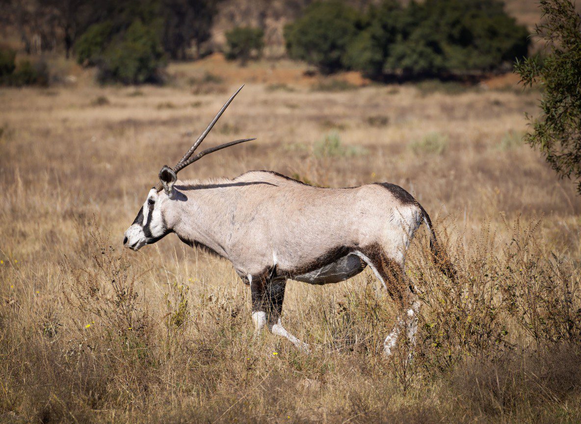
On the lower slopes and plains: Zebra, eland, Maasai giraffe, kongoni, and Grant’s gazelle graze the flat grassland between the trailhead and the forest line. Buffalo are seen regularly in small herds, particularly in the early morning. Hyena tracks are common on the trail.
In the crater forest: Leopard are present but rarely seen — the dense fig forest provides ideal cover and the cats are most active at night. Black-and-white colobus monkey occasionally move through the upper forest zone. Olive baboon are common.
Birdlife: 68 species recorded in the park, including augur buzzard and Verreaux’s eagle overhead and numerous sunbirds and weavers in the rim vegetation.
Combining Longonot With Lake Naivasha: A Full Rift Valley Day
The classic Naivasha day trip pairs Mount Longonot and Lake Naivasha in a single outing that covers both land and water. The mountain and the lake are 17 kilometres apart by road.
Suggested full-day structure:
| Time | Activity |
|---|---|
| 06:30 | Depart Nairobi or Naivasha accommodation |
| 07:00 | Gate entry, start ascent |
| 09:30 | Reach crater rim |
| 10:30 | Complete rim loop, begin descent |
| 11:30 | Back at gate, break and change footwear |
| 12:30 | Drive to Lake Naivasha |
| 13:00 | Lunch at a lakeside restaurant |
| 14:30 | Boat safari on Lake Naivasha — hippos, fish eagles, pelicans |
| 16:30 | Optional: Crescent Island walking safari |
| 17:30 | Depart for Nairobi (90-minute drive) |
This combination — a morning of physical effort on the volcano and an afternoon of flat-water wildlife watching — covers completely different terrain types in a single day. For mixed-energy groups, it gives something genuinely satisfying to everyone.
Seasonal Conditions
Best conditions: January to March, and July to September. Dry trails, clear skies, sharp rim views. The morning light from the east-facing trailhead is excellent for photography during these months.
Rainy season (April-June, October-November): The hike is possible but the trail becomes slippery on the steep upper section. Mist frequently obscures rim views. A waterproof jacket is essential and mud is expected. The crater in low cloud can be genuinely atmospheric.
Temperature guidance: The valley floor is typically 20-28°C. The rim can be 8-12°C cooler, especially with wind. A light layer for the summit stop is not optional.
Sunrise hikes: A 05:00 gate entry on a clear morning puts you on the rim at sunrise — one of the finest early-morning views in Kenya. This requires advance coordination with Kenya Wildlife Service for early gate access.
Practical Planning Notes
From Nairobi: The turn-off for Longonot Gate is clearly marked on the A104 Nairobi-Naivasha highway, approximately 60 kilometres from the city. Total drive time 50-70 minutes depending on Nairobi traffic leaving.
Getting there: A 4WD is not required — the approach road to the gate is tarmac. Standard vehicles are fine.
What not to wear: Sandals, flip-flops, and casual flat-soled shoes are not appropriate for the summit trail. Park rangers at the gate actively turn back visitors in unsuitable footwear, which is correct given the loose volcanic soil on the upper section.
Longonot within a wider Kenya itinerary: Mount Longonot pairs well as a day addition when routing between Nairobi and the Masai Mara via the Rift Valley (the Mai Mahiu road runs past it). Rather than spending 5-6 hours on a direct Nairobi-Mara drive, breaking at Longonot for the morning hike and combining with Lake Naivasha for lunch adds one of Kenya’s most satisfying day experiences to what would otherwise be a transit day.