A map used to mean a printed sheet pinned to a ranger station wall. In Kenya today, it is more likely a live layer of satellite imagery, GPS collar pings, and patrol data. That data updates in near real time. The African Wildlife Foundation (AWF) welcomed the first cohort of its Geospatial Leaders Fellowship on 10 March 2026. It is a 10-month program built to grow that kind of talent across the continent. Touring Insights looked at what the fellowship actually teaches. We also checked how it fits into tools already running in Kenya’s parks and conservancies, and what it signals for wildlife protection here. This is a planning and context piece, not a booking pitch.
What the AWF Geospatial Leaders Fellowship Actually Is
AWF announced the fellowship on 17 December 2025. Applications closed on 15 January 2026. Six fellows were chosen from nearly 1,000 applicants. They come from Kenya, Uganda, Tanzania, Sierra Leone, the Democratic Republic of Congo, and Senegal. The program is fully funded, so fellows pay nothing to take part. Eligible applicants must be African citizens aged 18 to 35. Each must hold a relevant degree and already work at an organization with a real need for GIS skills. That organization can be a government wildlife agency, an NGO, a conservancy, or a research institute.
The structure runs online coursework alongside a physical workshop in Nairobi, where AWF is headquartered. It closes with a capstone project each fellow delivers for their home organization. David Williams, AWF’s Senior Director of Conservation Programs, framed the goal plainly: “Your job isn’t to impress other GIS people, it’s to empower non-GIS people to make better decisions.”
Why Kenya Needed This Kind of Training Now
Kenya’s wildlife authorities have generated geospatial data for years. The country has never had enough trained analysts to turn that data into decisions field teams can act on. That gap shows up most in land-use planning, where wildlife corridors keep shrinking. Fencing and subdivision spread across the rangelands every year. A landmark 2017 report mapped this problem in detail. Kenya’s Directorate of Resource Surveys and Remote Sensing and the Wildlife Research and Training Institute found 110 wildlife migratory corridors and dispersal areas nationwide. That is 52 in the northern rangelands and coastal ecosystems, and 58 in the southern rangelands. Many of those corridors have no dedicated staff watching for encroachment against that map today.
The fellowship also lines up with a bigger global commitment. AWF ties the program to Target 1 of the Kunming-Montreal Global Biodiversity Framework. That is the international pledge to bring spatial planning into land and water management everywhere by 2030. Training six analysts a year will not close that gap alone. But it builds the pipeline of people who can actually run the tools once they exist.
What Fellows Learn, and What They Build With It
The curriculum covers core GIS and remote sensing skills applied to real conservation problems. Fellows learn to read satellite imagery to flag deforestation as it happens. They map wildlife corridors against land-use change and model human-wildlife conflict hot spots. Fellows also build land-use plans that county governments and conservancies can actually use. Each fellow’s capstone project produces something tangible for their home institution, not a classroom exercise. That might be an updated corridor map, a conflict-risk model, or a monitoring dashboard.
Geospatial Tools Already at Work in Kenya
The fellowship does not start from zero. Kenya already runs several geospatial conservation systems. Fellows are being trained into an ecosystem that already has real infrastructure worth knowing about.
| Program or Tool | Lead Organization | Started | Core Technology | What It Tracks |
|---|---|---|---|---|
| SMART (Spatial Monitoring and Reporting Tool) | Kenya Wildlife Service | Rolled out mid-2010s | Ranger patrol GPS logging and mapping software | Anti-poaching patrol routes and incident data across national parks |
| Mara Elephant Project GPS collars | Mara Elephant Project, with Save the Elephants | 2011 | Satellite GPS collars and Google Earth geofencing | Elephant movement and 1 km geofence alerts near fence lines in the Masai Mara ecosystem |
| National Wildlife Corridors Mapping | DRSRS and Wildlife Research and Training Institute | 2017 report | Aerial survey and GIS corridor modeling | 110 corridors and dispersal areas across Kenya’s rangelands and coast |
| Geospatial Leaders Fellowship | African Wildlife Foundation | March 2026 cohort | Applied GIS and remote sensing training | New analyst capacity for host organizations across 6 African countries |
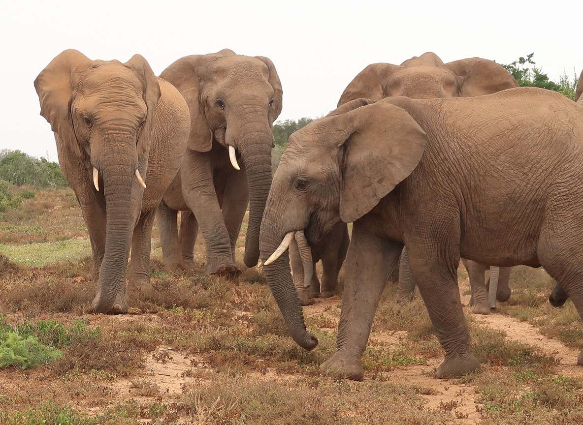
Save the Elephants, based at Samburu National Reserve, pioneered the satellite GPS collar work behind this. The Mara Elephant Project later adapted it for geofencing near community land. When a collared elephant crosses within a kilometer of a mapped fence line, rangers get an alert. They can respond before a conflict starts. That is the same logic the AWF fellowship is teaching at a larger scale: turn a location ping into a decision fast enough for someone to act on it.
What This Means for Wildlife Corridors Around the Safari Circuit
Corridors like the Amboseli-Kilimanjaro dispersal route sit close to routes many first-time safari travelers already drive. So do the Kitengela and Athi-Kaputiei plains near Nairobi National Park. These are not abstract lines on a map. They are the paths elephants and wildebeest use to move between parks and private conservancies as seasons change. Better mapping helps county planners route new roads and fences around active corridors, not through them. That is exactly the kind of decision the fellowship trains people to support with data instead of guesswork.
For travelers, this rarely shows up as anything visible on a single trip. It shows up years later, in which conservancies still have healthy wildlife movement and which ones do not. Conservancies that work closely with mapping and monitoring data tend to hold onto their wildlife numbers better over time. Several of the strongest examples border the Masai Mara.
Trip-Planning and Program Facts
| Fact | Detail |
|---|---|
| AWF Geospatial Leaders Fellowship launch announcement | 17 December 2025 |
| Application deadline | 15 January 2026, 5:00 PM EAT |
| Inaugural cohort welcomed | 10 March 2026 |
| Program length | 10 months, fully funded |
| Fellows selected | 6, from nearly 1,000 applicants |
| Countries represented in 2026 cohort | Kenya, Uganda, Tanzania, Sierra Leone, DRC, Senegal |
| National wildlife corridors mapped (2017 DRSRS/WRTI report) | 110 total (52 northern/coastal, 58 southern) |
| Mara Elephant Project geofence buffer | approx. 1 km from mapped fence lines |
| Masai Mara National Reserve size | approx. 1,510 km² |
| AWF headquarters | Nairobi, Kenya |
Program details and application cycles change year to year. Treat dates as indicative of the 2026 cohort and check AWF’s own pressroom before referencing a future round.
Explorer Notes
Guides and camp managers around the Mara and Amboseli increasingly talk about GPS collar data as a normal part of the working day, the way they used to talk about radio call-ins. A few conservancies now share simplified movement maps with guests during game drives. These show roughly where a collared elephant herd has been over recent weeks. If you are curious on a trip, ask your guide directly whether their conservancy partners with a mapping or monitoring program. Many do, and most guides enjoy explaining how it works, since it rarely comes up unless someone asks. It is one of the more concrete ways to see conservation work happening in real time.
What to Read Next
- New to the wildlife database side of this story? Read our piece on Kenya’s national wildlife database and what it means for conservation tourism.
- Curious about ground-level conflict prevention? See our Amboseli solar elephant fence schools piece.
- Planning your own conservancy-focused trip? Check our safari proposal guide for Kenya’s private conservancies.
Frequently Asked Questions
What is the AWF Geospatial Leaders Fellowship? A 10-month, fully funded training program from the African Wildlife Foundation. It teaches GIS and remote sensing skills to conservation professionals across Africa, including Kenya. The inaugural cohort of six fellows started on 10 March 2026.
Who can apply for the fellowship? African citizens aged 18 to 35 with a relevant degree. Applicants must already work at an organization, such as a government wildlife agency, NGO, conservancy, or research institute, with a genuine need for GIS skills.
How does GIS technology already help wildlife conservation in Kenya? Kenya Wildlife Service uses the SMART system to log ranger patrol data. The Mara Elephant Project uses GPS collars with geofencing to prevent elephant-fence conflicts. A 2017 national report mapped 110 wildlife corridors that guide land-use decisions today.
Does this fellowship affect where I can safari in Kenya? Not directly or immediately. The fellowship builds analyst capacity that supports long-term corridor protection and conflict prevention. That work shapes wildlife numbers and movement patterns over years, not a single trip.
Where is AWF based? The African Wildlife Foundation is headquartered in Nairobi, Kenya. The fellowship’s in-person workshop component takes place there.
Want to see where conservancy-level conservation work and safari planning meet on the ground? Visit our Tour Packages page. Or ask a partner operator which conservancies near your route run active monitoring programs.