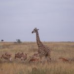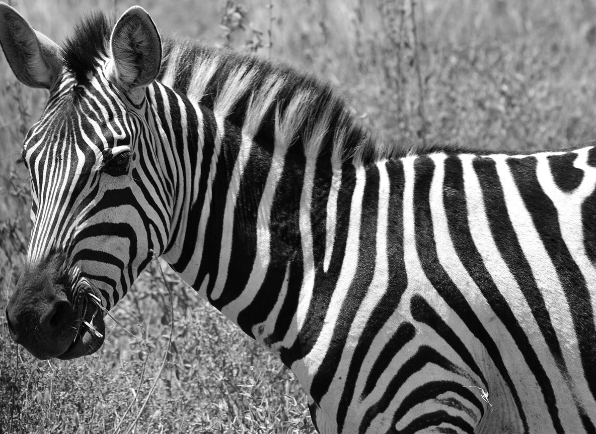
Kenya’s Cabinet approved a plan on 11 November 2025 to formally protect the migration route between Nairobi National Park and the Athi-Kapiti plains. It sounds bureaucratic. It is not. This is the corridor that lets zebra, wildebeest, and gazelle move in and out of the only national park inside a capital city anywhere in the world. Touring Insights breaks down what the approval actually covers, the real numbers behind the park and its dispersal area, and what it means if you are planning a Nairobi National Park visit.
Nairobi National Park has always been unusual. Lions, rhinos, and giraffe live within sight of office towers. That works only because the park’s southern boundary has stayed open for decades, letting animals wander onto the Athi-Kapiti plains beyond the fence line. That open edge is exactly what this new corridor plan is trying to save.
What Cabinet Actually Approved
The Cabinet approval implements a presidential directive first issued in July 2023, according to reporting from the Star and allAfrica. The plan formally establishes the Nairobi National Park-Athi-Kapiti Wildlife Corridor as a protected migratory route, not just an informal dispersal zone. State agencies will surrender portions of public land, including sections of the Export Processing Zone, to the Kenya Wildlife Service for conservation use.
The project runs for three years, starting in the 2026/27 financial year. Planned work includes targeted land acquisition, wildlife-friendly fencing, and overpasses or underpasses at the roads that currently cut across migration paths. Funding is expected to come through partnerships with conservation agencies and newer tools like nature bonds and debt-for-nature swaps, rather than a single government budget line.
Why Nairobi National Park Needs an Open Corridor
Nairobi National Park covers only about 117 km2, small enough to drive across in a single morning. Three of its boundaries are fenced. The southern edge has traditionally stayed open, connecting the park to the much larger Athi-Kapiti plains across Kajiado and Machakos counties. Wildlife groups have estimated this wider dispersal area at more than 2,000 km2 in past decades, though usable open land has shrunk sharply as fencing and development spread.
Zebra, wildebeest, and gazelle depend on that connection most. They move onto the plains to graze during wetter months, then return toward the park’s permanent water when the dry season tightens grazing elsewhere. Without a working corridor, the park effectively becomes a fenced enclosure, too small on its own to support large grazing herds long-term.
Predators follow the same logic in reverse. Lion and cheetah territories in Nairobi National Park often stretch beyond the fence line, tracking whatever prey herds are doing that season. Cut the corridor and you shrink the effective hunting ground for resident predators too, even though their home range on paper still shows up as park land.
The Athi-Kapiti Plains: Pressure From Every Direction
The land south of Nairobi National Park has changed fast. The Standard Gauge Railway line runs through this exact landscape, and its barbed-wire sections have already caused documented elephant entanglements elsewhere on the route. Konza Technopolis, Kenya’s flagship tech-city project, sits roughly 60 km southeast of Nairobi along Mombasa Road, inside the same broader Athi-Kapiti landscape. Kitengela town, closer to the park boundary, has grown quickly as Nairobi’s population spreads outward.
Each development brings its own fencing, roads, and settlement. Individually, none blocks the whole corridor. Together, they narrow it year after year. The 2016 Wildlife Corridors and Dispersal Areas Report, which this new plan references directly, first flagged Athi-Kapiti as a corridor under serious threat from exactly this kind of piecemeal land loss.
Nairobi National Park vs the Athi-Kapiti Corridor: The Numbers
| Metric | Nairobi National Park | Athi-Kapiti corridor and dispersal area |
|---|---|---|
| Size | Approx. 117 km2 | Historic dispersal area once estimated over 2,000 km2 |
| Counties | Nairobi County | Machakos and Kajiado counties |
| Boundary status | Fenced north, west, east; open south | Increasingly fragmented by SGR line, roads, and development |
| Key pressures | Visitor traffic, urban edge | Konza Technopolis, Kitengela growth, EPZ land, fencing |
| Cabinet approval date | N/A | 11 November 2025 |
| Project start | N/A | 2026/27 financial year |
| Project duration | N/A | Three years |
These figures show why conservationists treat this corridor as urgent rather than routine. A 117 km2 park cannot hold a healthy long-term population of migratory grazers on its own. It never could. The corridor is the mechanism that has always made the park’s wildlife numbers work, and it has been eroding quietly for years.
Planning a Visit: Distances, Fees, and Access
Nairobi National Park remains fully open to visitors during this planning and land-transfer phase. Nothing about the corridor project changes how you book or enter the park today.
| Location | Distance from Nairobi CBD | Approx. travel time | Indicative fee (2026) |
|---|---|---|---|
| Nairobi National Park main gate | Approx. 10 km | 20-30 min drive | USD 80 adult non-resident, USD 40 child (2026 rate, confirm current pricing) |
| Kitengela / Athi-Kapiti plains edge | Approx. 30 km via Mombasa or Namanga Road | 45-60 min drive | No single park fee; mostly community and private land |
| Konza Technopolis area | Approx. 60 km along Mombasa Road | Approx. 1 hr drive | N/A, not a visitor site |
| Wilson Airport (charter flights) | Approx. 12 km | 25-30 min drive | N/A |
Nairobi National Park’s entry fee jumped sharply in 2026, from USD 43 to USD 80 for a non-resident adult, with the child rate moving from USD 22 to USD 40. That increase is separate from the corridor project, but it is worth confirming current rates before you travel either way.
What This Means for Your Safari, Starting Now
Nothing changes for a booked Nairobi National Park game drive this year. Land transfers, fencing agreements, and infrastructure work of this scale take years to move from Cabinet approval to ground reality. What does change is the story a good guide can now tell you at the park boundary.
Ask your guide to point south from Ivory Burning Site or the Hyena Dam area, toward the open plains beyond the fence. That view is the corridor this whole project is about. Over the next three years, watch for fencing changes, new underpasses near the SGR line, and possibly renewed wildlife counts on the Kitengela side as land transfers to KWS begin.
For travelers weighing a Nairobi National Park morning against skipping straight to the Maasai Mara or Amboseli, this project is a useful reminder. The park’s wildlife numbers have always depended on land most visitors never see. A short game drive inside the fence is really a window onto a much larger, quietly negotiated landscape.
Explorer Notes
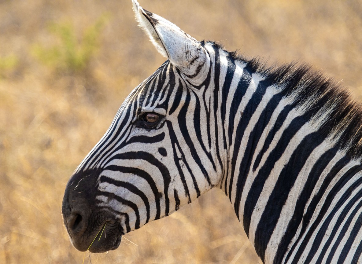
Drivers who work Nairobi National Park daily already read the corridor without needing a map. Ask about which mornings bring wildebeest and zebra back into the park from the south. Guides tied to the Kitengela side often know specific fence gaps and community conservancy boundaries that never make it onto tourist maps.
If you fly into Wilson Airport before a bush flight elsewhere in Kenya, look south on the approach. The patchwork of open plains, new roads, and scattered rooftops you see from the air is the exact landscape this Cabinet decision is trying to hold together.
What to Read Next
- Planning your Nairobi National Park visit? Check our 2026 entry fee guide for current pricing.
- New to the park layout? Our Nairobi National Park guide covers gates, game drive routes, and what to expect.
- Curious how railway fencing affects wildlife elsewhere in Kenya? Read our piece on barbed wire along the SGR.
FAQ
What is the Nairobi National Park-Athi-Kapiti Wildlife Corridor? It is the migration route connecting Nairobi National Park’s open southern boundary to the Athi-Kapiti plains in Machakos and Kajiado counties, now formally protected under a November 2025 Cabinet decision.
When did Cabinet approve the corridor project? Cabinet approved implementation on 11 November 2025, following a presidential directive first issued in July 2023.
Will this affect my Nairobi National Park safari right now? No. The park remains fully open, and the project’s land transfers and infrastructure work are planned over a three-year period starting in the 2026/27 financial year.
Why does Nairobi National Park need a corridor to the Athi-Kapiti plains? The park itself covers only about 117 km2, too small to support migratory zebra, wildebeest, and gazelle populations alone. It has always relied on its open southern boundary for extra grazing land.
What threats does the corridor face? Growth around Kitengela, the Konza Technopolis project, Standard Gauge Railway fencing, and general land development have fragmented the historic dispersal area over the past two decades.
A morning game drive in Nairobi National Park still starts the same way it always has, with a gate, a map, and a good guide. What happens beyond the fence line is what this corridor decision is trying to protect for the long run. If you want to see the park while its open boundary still works the way nature intended, our Tour Packages page can help you build a Nairobi itinerary around it.