Repeat visitors to Amboseli Serena Safari Lodge have started noticing something on the drive in. Cattle bomas sit closer to the road than they used to. Small plots of cleared land show up where open plains once ran unbroken to the park boundary. A long-running Tripadvisor thread has tracked this build-up for roughly six years, and the pattern lines up with what researchers already know about land pressure around Amboseli. This piece looks at what is actually changing near Serena, why it matters for elephants, and what it means for anyone planning a visit.
What Travelers Are Noticing Near Amboseli Serena
Amboseli Serena Safari Lodge sits inside the park near Ol Tukai, close to the swamps that keep elephants and other wildlife in the area even during the dry months. Kitirua Gate, on the park’s eastern boundary, is the closest entry point for guests heading in from the Kimana direction. That approach road runs through community land before it reaches the gate, and it is exactly the stretch where travelers describe more permanent structures than they remember from past trips.
None of this is happening inside the park itself. Amboseli National Park‘s boundary has not moved. What has changed is the density of settlement and grazing activity just outside it, on land that elephants have always used as part of a much wider range.
Why Amboseli Was Never Just a Park Boundary
Amboseli National Park covers only about 392 km2. That number surprises people who assume a famous park must be enormous. The park is small on purpose. It protects the swamps elephants need in dry season, while the surrounding Maasai group ranches were always meant to carry the rest of the ecosystem’s wildlife traffic.
The Olgulului-Ololarashi Group Ranch alone wraps around roughly 90 percent of the park’s boundary and covers about 1,232 km2. Five more group ranches, Kimana, Mbirikani, Eselengei, Rombo, and Kuku, extend that community land further toward the Chyulu Hills, Tsavo West, and the Kenya-Tanzania border. Together they hold most of the elephant corridors that make Amboseli’s ecosystem function at a scale the park fence line never could on its own.
The Kimana Corridor Shows What Encroachment Does
The clearest case study sits just southeast of the park. The Kimana Corridor links Amboseli to the Chyulu Hills and Tsavo West, and elephants have used it for generations to follow rain and food between the two systems. Surveys have measured it narrowing to around 46 meters at its tightest point, squeezed by fencing, farm plots, and small settlements on both sides.
A corridor that thin is barely a corridor anymore. Elephants can still push through, but a single new fence line or greenhouse can close the gap for good. Once that happens, herds either stop making the crossing or start moving through farmland, which raises the odds of crop damage and retaliatory conflict.
What’s Driving the Settlement Growth
Group ranch land in the Amboseli ecosystem is communally held, but economic pressure on Maasai families has pushed more subdivision and private plot sales over the past decade. A subdivided plot is easier to sell, fence, or convert to irrigated farming than a share in open communal grazing land. Farming, especially small-scale horticulture near reliable water sources, can outearn livestock in a good season, which makes it a hard sell to discourage without an alternative income.
That is the same pressure showing up on the roads into Serena. Families settling closer to a paved or well-graded access route get easier market access for produce and easier transport for supplies. The road that makes a lodge convenient to reach also makes the land beside it more attractive to build on.
Corridor Pressure Points at a Glance
| Corridor / Area | Role | Size or distance | Pressure observed |
|---|---|---|---|
| Kimana Corridor | Links Amboseli to Chyulu Hills and Tsavo West | Narrows to approx. 46 meters at its tightest point | Fencing, farm plots, settlement |
| Kitenden Corridor | Links Amboseli to Kilimanjaro forest, Tanzania | approx. 26,000 acres under conservation lease | Cross-border grazing and land-use change |
| Olgulului-Ololarashi Group Ranch | Surrounds approx. 90% of the park boundary | approx. 1,232 km2 | Subdivision, private plot sales |
| Kimana Sanctuary | Community-run buffer along the Kimana Corridor | approx. 5,700 acres | Protected, but bordered by farmland |
| Amboseli National Park | Core protected area | approx. 392 km2 | Roughly 5% of the wider ecosystem |
What Conservancies Are Doing About It
Kimana Sanctuary is the response that gets cited most often. It was Kenya’s first community wildlife sanctuary, built on land leased from around 844 Maasai family members, and it now generates tourism income that competes directly with farming as a land use. Angama Amboseli operates inside the sanctuary, and its lease payments flow straight back to the landowners who agreed to keep that stretch of corridor open.
IFAW took a similar approach with the Kitenden Corridor, signing lease agreements with more than 2,600 individual landowners to secure roughly 26,000 acres connecting Amboseli to the Kilimanjaro forest reserve across the Tanzania border. Big Life Foundation and the Amboseli Ecosystem Trust run parallel programs encouraging a shift back toward livestock over cultivation on group ranch land, since grazing land stays far more permeable to wildlife than a fenced farm plot ever will.
These programs prove the model works. They do not yet cover every stretch of land bordering the park, which is why new settlement can still show up along roads like the Kitirua approach to Serena.
What This Means for Your Safari Visit
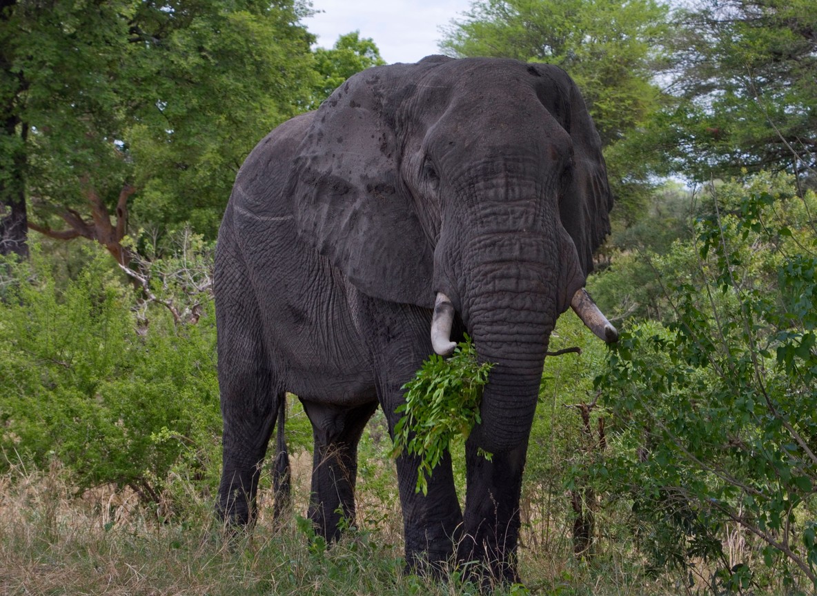
None of this changes what Amboseli delivers on a game drive today. Elephant sightings around the swamps at Enkongo Narok, Olokenya, and Longinye remain reliable, and the park’s core wildlife experience is intact. What it does change is the picture just beyond your vehicle window on the transfer in.
| Detail | Figure |
|---|---|
| Nairobi to Amboseli (road) | approx. 215-240 km, 4-4.5 hr drive |
| Amboseli non-resident entry fee (indicative 2026) | approx. USD 60-90 per adult per 24 hr |
| Kimana Sanctuary non-resident entry fee (indicative) | approx. USD 25 per adult per 24 hr |
| Distance, Ol Tukai (Serena) to Kimana town | approx. 25-30 km |
| Nearest airstrip | Amboseli Airport, inside the park |
Travelers who want to see a working example of corridor conservation can add a short stop or overnight at Kimana Sanctuary, either before or after an Amboseli stay. It sits directly on the corridor under the most pressure, and it shows what the alternative to unplanned settlement can look like.
Explorer Notes
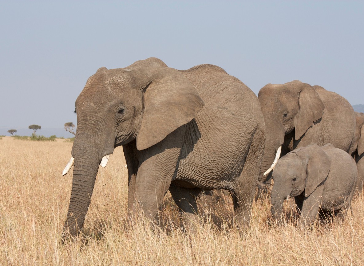
Guides who drive the Kitirua approach regularly say the change is gradual, not dramatic, which is exactly why it is easy to miss on a single visit. Ask your driver which stretches of the road were open grassland five years ago. Most can point to specific bomas or greenhouses that went up recently. If you are booking a multi-park itinerary, consider routing through Kimana Sanctuary rather than bypassing it, since that visit puts tourism revenue directly behind the corridor. Early morning is still the best window for elephant sightings near the swamps, before herds move off to shade as the day heats up. Pack a wide lens for herd shots near the swamp edges, since elephants gather in loose groups rather than tight lines through most of the day.
What to Read Next
- Amboseli: Super Tuskers, Elephant Herds, and Kilimanjaro Views
- The Amboseli-Tsavo Wildlife Corridor and Its “Super Tusker” Elephants
- Best Time to Visit Amboseli for Elephants
FAQ
What is happening near Amboseli Serena Safari Lodge? Travelers have reported more cattle bomas and small settlements along the community-land approach road to the lodge over the past several years. The park boundary itself has not changed.
Why do settlements outside the park affect elephants? Amboseli’s elephants range far beyond the 392 km2 park boundary, using surrounding group ranch land as corridors to the Chyulu Hills, Tsavo West, and Kilimanjaro. Settlement and farming on that land can block or narrow those routes.
What is the Kimana Corridor and why does it matter? It is the main wildlife link between Amboseli and the Chyulu Hills and Tsavo West ecosystems. Surveys have found it narrows to about 46 meters at its tightest point due to fencing and farm plots.
Is Amboseli National Park itself shrinking? No. The gazetted park boundary is unchanged. The pressure is on community land outside the park that elephants also depend on.
Can travelers do anything to support corridor conservation? Yes. Staying at or visiting lodges inside community conservancies like Kimana Sanctuary channels tourism revenue directly to landowners who keep that land open for wildlife instead of converting it to farmland.
Amboseli’s elephants are not disappearing, and a safari here still delivers what it always has. If you want an itinerary that builds in a stop at Kimana Sanctuary or another corridor conservancy alongside your Amboseli days, check our Tour Packages page or ask a partner operator to route it in for you.
Further reading
More safari planning resources
- Amboseli map and guide from SafariPure
- Map of Amboseli from Valley Safaris
- Amboseli National Park guide on Touring Insights
- Amboseli destination guide on FindMySafari
Related guides: Amboseli in November: What the Short Rains Change, and What They Do Not, Elephant Family Herds vs Big Tuskers in Amboseli: Which Experience Fits Your Safari.