Kenya Wildlife Service has launched an infrastructure spatial plan for Lake Nakuru National Park, aimed squarely at the sewage and solid waste flowing in from Nakuru town. KWS Director General Brigadier (Rtd) John Waweru announced the plan as a direct response to years of effluent and plastic waste reaching the lake. The problem has thinned flamingo numbers and put pressure on one of Kenya’s most important rhino sanctuaries.
If you have Lake Nakuru on your itinerary, this is good news with a practical catch. The park is not closing, and game drives continue as normal. But the story behind this announcement is worth understanding, because it explains what you will and will not see on the ground in 2026.
What KWS Just Announced
The new spatial plan targets the two biggest sources of contamination entering the park. One is effluent channeled from Nakuru town. The other is solid waste, mostly single-use plastic, that collects along the lake shore and in feeder streams. Waweru described a coordinated infrastructure build rather than a one-off cleanup. A permanent, structural response to a pollution problem that has recurred for over a decade.
The plan calls for a solid waste management framework built for the park’s specific geography. It also adds buffer zones and silt traps along the streams that feed the lake, plus reforestation work in the Njoro and Makalia sub-catchments upstream. KWS and research partners are also expanding water chemistry monitoring, so contamination gets flagged before it reaches crisis levels rather than after flamingos or fish start dying.
Why Lake Nakuru’s Pollution Problem Runs Deep
This is not a new fight. Nakuru town’s population has grown fast, and its sewage infrastructure has not kept pace. The Mwariki treatment plant, which sits near the park’s northern edge, has been named repeatedly as a source of effluent reaching the lake untreated or under-treated. In 2019, then-Tourism Cabinet Secretary Najib Balala said the lake was “as good as dead” because of the pollution load. The comment made headlines and pushed KWS into its first major rapid-response cleanup that same year.
That 2019 effort improved things temporarily. It did not solve the underlying issue, because sewage treatment capacity and stormwater management around Nakuru town remained the same. Agricultural land in the Njoro and Makalia catchments upstream adds fertilizer and pesticide runoff on top of the sewage problem. Soil erosion from expanding farms increases siltation, which shrinks the lake’s open water and chokes the algae flamingos feed on.
What the New Plan Actually Changes
The difference between this plan and past cleanups is that it is infrastructure, not intervention. Silt traps and buffer zones are physical structures meant to keep working after the news coverage fades. Reforestation in the upstream sub-catchments addresses the erosion problem at its source instead of dredging silt out of the lake after the fact.
| Element | What it does | Where |
|---|---|---|
| Solid waste management framework | Collection points and disposal routing to keep plastic out of the park | Park boundary, Nakuru town interface |
| Buffer zones and silt traps | Physically slow and filter runoff before it reaches the lake | Streams feeding the lake from the north and east |
| Reforestation | Reduces soil erosion and siltation at the source | Njoro and Makalia sub-catchments |
| Water chemistry monitoring | Early detection of contamination spikes | Lake-wide, with KWS and research partners |
None of this is a quick fix. Silt traps need regular clearing, and reforestation takes years to change erosion patterns measurably. But it is the first plan aimed at the causes rather than just the symptoms.
Is Lake Nakuru Safe to Visit Right Now
Yes. The pollution concerns center on water quality in specific parts of the lake and its feeder streams, not on the park’s roads, gates, or game-viewing circuits. Game drives around the lake shore, the euphorbia forest, and Baboon Cliff viewpoint continue without interruption. KWS has not restricted access to any part of the park because of this issue.
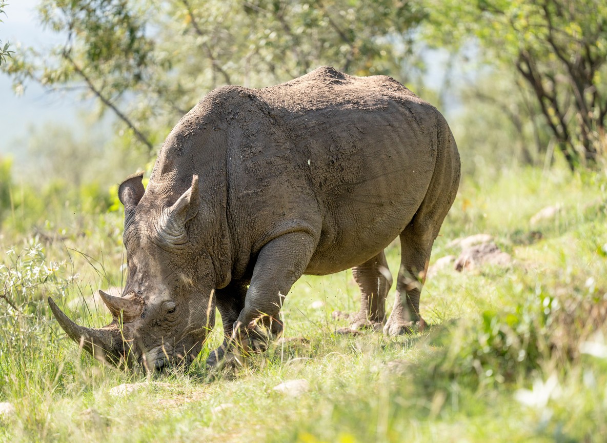
The rhino sanctuary is a fenced zone within the park that holds more than 150 rhinos, roughly 80% southern white rhino and 20% eastern black rhino. It sits away from the most affected shoreline stretches and is unaffected by the water quality concerns.
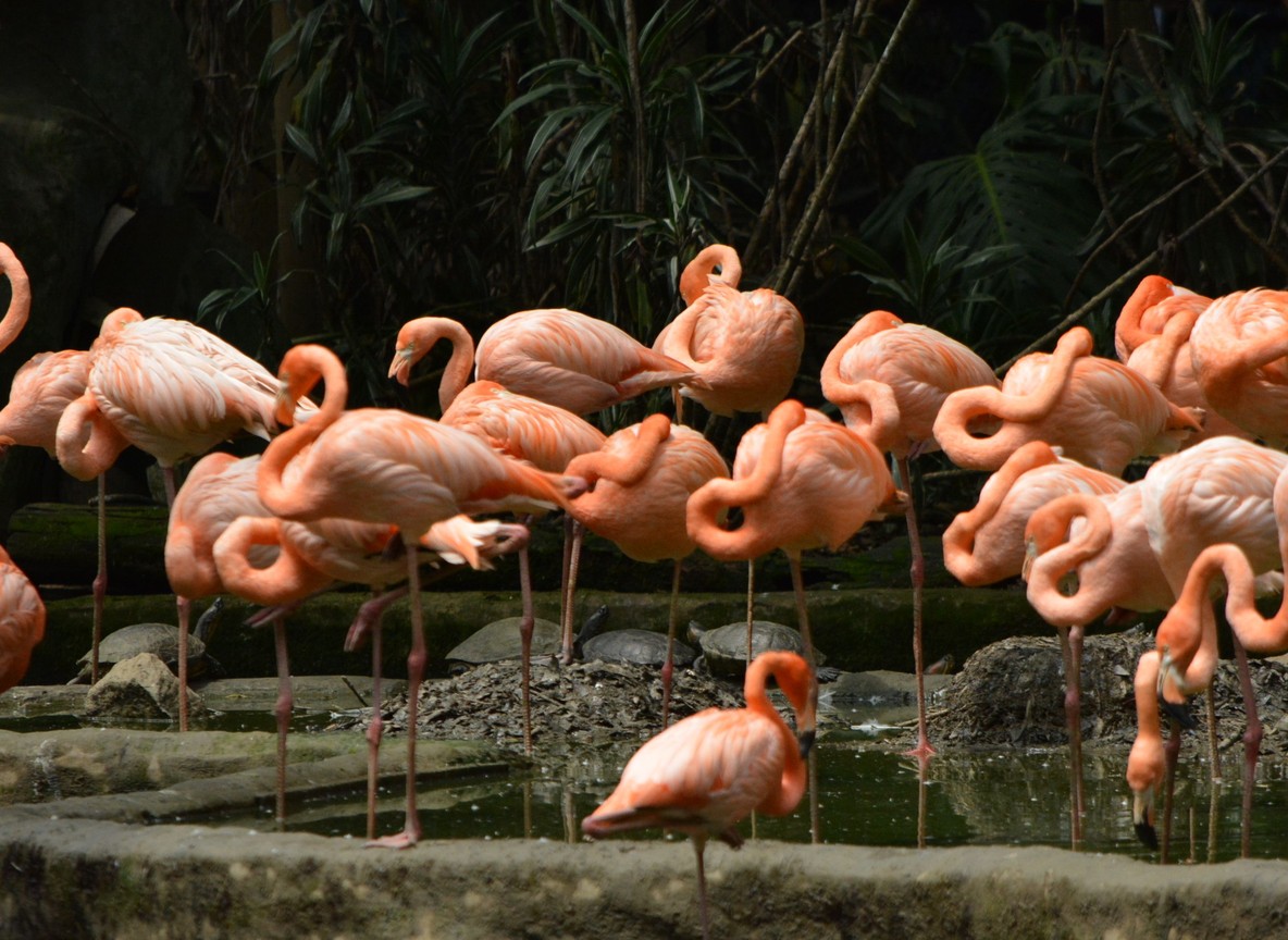
Flamingo numbers do fluctuate with lake chemistry and water levels. A visit built entirely around flamingo photography is worth a quick check with your camp before you travel, since the birds have historically shifted between Nakuru, Elmenteita, and Bogoria depending on conditions.
Lake Nakuru National Park: Key Visitor Facts
| Detail | Figure |
|---|---|
| Park size | 188 km2 |
| Distance from Nairobi (via A104) | approx. 156 km, 3-3.5 hour drive |
| Main Gate from Nakuru town center | approx. 4 km |
| Other gates | Lanet Gate, Nderit Gate, Airstrip Gate |
| Rhino sanctuary population | 150+ rhinos (approx. 80% white, 20% black) |
| Non-resident adult park fee (2026) | approx. USD 90 (indicative, confirm current KWS rate) |
| East African citizen park fee (2026) | approx. KSh 1,500 (indicative, confirm current KWS rate) |
| Key upstream catchments in the plan | Njoro sub-catchment, Makalia sub-catchment |
Most self-drive and tour vehicles enter through Main Gate, a short hop off the Nairobi-Nakuru highway. Lanet Gate is the better choice if you are coming from Nairobi and want to avoid Nakuru town traffic altogether.
What This Means for Planning Your Trip
If Lake Nakuru is a stop on a longer Rift Valley circuit, nothing about this announcement should change your booking. It is worth asking your operator two things before you go. First, current flamingo numbers and location, since flocks move seasonally. Second, whether the rhino sanctuary routes have changed. Neither is likely, but a five-minute question saves a disappointing morning.
Photographers chasing flamingo shots should build in flexibility. Guides who work the park daily know within a week or two where the birds have concentrated, and that beats planning around outdated blog photos or old trip reports.
How This Compares to Other Kenyan Park Pollution Cases
Lake Nakuru is not the only Kenyan park dealing with urban runoff. Nairobi National Park had a chemical foam incident reach its rivers in April 2026, tied to industrial discharge rather than municipal sewage. The mechanics differ, but the pattern is the same: parks that sit close to fast-growing towns absorb whatever infrastructure gaps those towns have. Lake Nakuru’s plan is notable because it targets the source catchments upstream, not just the symptoms inside the park fence.
Explorer Notes
Ask your guide which section of the lake shore they plan to visit first. Water levels and flamingo concentrations near Baboon Cliff and the southern shore can look completely different from the eastern stretch near town. That eastern side is where most of the pollution has historically entered.
Rangers stationed near the rhino sanctuary gate are usually happy to give a direct answer on current water testing status if you ask. That is a better source than secondhand trip reports.
If your trip includes early morning light for photography, the euphorbia forest side of the park tends to have clearer water and denser bird activity than the shoreline closest to town.
Frequently Asked Questions
What is the Lake Nakuru pollution infrastructure plan? It is a KWS-led plan announced in July 2026 to build permanent infrastructure, including waste management systems, buffer zones, silt traps, and upstream reforestation, that cuts sewage and plastic reaching Lake Nakuru National Park from Nakuru town.
Is Lake Nakuru National Park safe to visit in 2026? Yes. Game drives, the rhino sanctuary, and standard tourist circuits are unaffected. The plan targets water quality issues tied to specific streams and shoreline stretches, not park access.
Why is Lake Nakuru polluted in the first place? Sewage from Nakuru town, including effluent linked to the Mwariki treatment plant, has been reaching the lake for over a decade. Agricultural runoff and soil erosion from the Njoro and Makalia catchments add to the load.
Will this affect flamingo sightings? Not directly. Flamingo numbers at Lake Nakuru shift with lake chemistry and water levels regardless of this plan, and flocks move between Nakuru, Elmenteita, and Bogoria. Check current sightings with your operator before a photography-focused trip.
How is this different from the 2019 cleanup effort? The 2019 rapid response was a short-term intervention. This plan builds physical infrastructure, silt traps, buffer zones, and reforested catchments, meant to keep functioning for years rather than requiring repeat cleanups.
This is an infrastructure story, not a park closure. Lake Nakuru’s rhinos, flamingos, and lake-shore drives remain open and worth the trip. If you want a full Rift Valley itinerary built around Nakuru and its neighboring lakes, our Tour Packages page can connect you with a partner who tracks these on-the-ground updates directly.
What to Read Next
- New to the park? Start with our Lake Nakuru flamingos and rhinos wildlife guide.
- Planning logistics? See our complete Lake Nakuru National Park safari guide.
- Deciding between Rift Valley lakes? Compare Lake Nakuru vs Lake Naivasha.